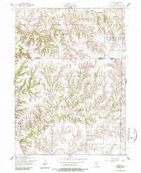
1953 Map of Eliza
USGS Topo · Published 1987About this map
The rolling agricultural landscape of Drury and Buffalo Prairie townships defines this 1953 survey of the borderlands between Rock Island and Mercer counties. The settlement pattern is characterized by a dense network of local civic institutions, reflecting a mid-century rural society still anchored by one-room schools and community meeting places. Small nodes of activity like Eliza and Petersville are surrounded by landmarks such as Point Pleasant School and Hazel Dell School, which served the dispersed farmsteads of the era.
Find a feature on this map
27 named features on this map. Tap any name to fly to it.
Don’t see what you’re looking for? This feature index may not catch every label — zoom into the map to look around manually.
Map Details
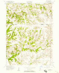
Editions of this 1953 Eliza Map
2 editions found
Other maps of this area

1916 · Edgington
USGS Topo · 1:62,500

1935 · Keithsburg
USGS Topo · 1:48,000

1938 · Edgington
USGS Topo · 1:62,500

1941 · Keithsburg
USGS Topo · 1:62,500

1946 · Wapello
USGS Topo · 1:62,500

1948 · Muscatine
USGS Topo · 1:62,500

1949 · Wapello
USGS Topo · 1:62,500

1953 · Toolesboro
USGS Topo · 1:24,000

1953 · Blanchard Island
USGS Topo · 1:24,000

1953 · Buffalo Prairie
USGS Topo · 1:24,000