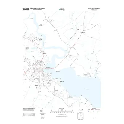
2013 Map of Elizabeth City
USGS Topo · Published 2013About this map
The Pasquotank River serves as the central artery for this region of coastal North Carolina, separating the urbanized grid of Elizabeth City from the rural expanses of Camden. The map reveals a dense network of residential developments and small settlements that hug the river’s curves and its many tributaries, including Knobbs Cr and Sawyers Cr. Along the western bank, several distinct neighborhoods are established, such as Brite Meadows, Jethro Park, and Brookridge Terrace, while Reed Island and Machelhe Island sit within the river's channel.
Find a feature on this map
172 named features on this map. Tap any name to fly to it.
Don’t see what you’re looking for? This feature index may not catch every label — zoom into the map to look around manually.
Map Details
Editions of this 2013 Elizabeth City Map
This is the sole edition of this map. No revisions or reprints were ever made.
Other maps of this area

1906 · Hertford
USGS Topo · 1:62,500

1940 · Hertford
USGS Topo · 1:62,500

1940 · Wade Point
USGS Topo · 1:62,500

1940 · South Mills
USGS Topo · 1:62,500

1943 · Wade Point
USGS Topo · 1:62,500

1948 · Wade Point
USGS Topo · 1:62,500

1948 · Elizabeth City
USGS Topo · 1:62,500

1952 · South Mills
USGS Topo · 1:62,500

1953 · Norfolk
USGS Topo · 1:250,000

1982 · Nixonton
USGS Topo · 1:24,000