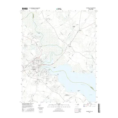
2016 Map of Elizabeth City
USGS Topo · Published 2016About this map
Elizabeth City dominates this 2016 survey, situated where the Pasquotank River narrows and turns south toward the Albemarle Sound. The city's residential and institutional footprint is clearly defined by several historic burial grounds, including Hollywood Cem and Oak Grove Cem, alongside educational hubs like Elizabeth City State Univ and the Coll of the Albemarle. Across the water in Pasquotank Co and Camden Co, the landscape transitions into the low-lying reaches of the Intracoastal Waterway and the Black Swamp.
Find a feature on this map
149 named features on this map. Tap any name to fly to it.
Don’t see what you’re looking for? This feature index may not catch every label — zoom into the map to look around manually.
Map Details
Editions of this 2016 Elizabeth City Map
This is the sole edition of this map. No revisions or reprints were ever made.
Other maps of this area

1906 · Hertford
USGS Topo · 1:62,500

1940 · Hertford
USGS Topo · 1:62,500

1940 · Wade Point
USGS Topo · 1:62,500

1940 · South Mills
USGS Topo · 1:62,500

1943 · Wade Point
USGS Topo · 1:62,500

1948 · Wade Point
USGS Topo · 1:62,500

1948 · Elizabeth City
USGS Topo · 1:62,500

1952 · South Mills
USGS Topo · 1:62,500

1953 · Norfolk
USGS Topo · 1:250,000

1982 · Nixonton
USGS Topo · 1:24,000