Loading...
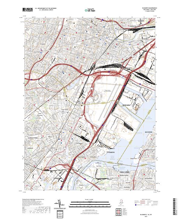
Loading map...2023 Map of Elizabeth
USGS Topo · Published 2023About this map
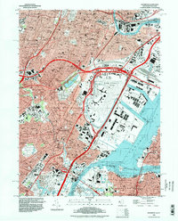
Elizabeth and Newark anchor this modern landscape of intense industrial and transportation infrastructure along the Arthur Kill. The map reveals the intricate network of maritime commerce, from the Elizabeth Channel and Port Newark Channel to the expansive rail yards at Oak Island Junction. This is a landscape where residential neighborhoods in Elmora and Union Square sit adjacent to massive logistics hubs like Newark Liberty International Airport.
Find a feature on this map
95 named features on this map. Tap any name to fly to it.
Don’t see what you’re looking for? This feature index may not catch every label — zoom into the map to look around manually.
Map Details
Date Portrayed2023
Date Published2023
PublisherU.S. Geological Survey
Map TypeTopographic
Scale1:24000
Physical Dimensions24 x 29 inches
Editions of this 2023 Elizabeth Map
This is the sole edition of this map. No revisions or reprints were ever made.
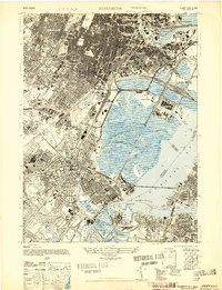
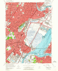
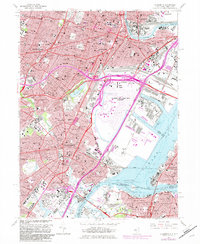
Historical Maps of Roselle Through Time
5 maps found
Featured Locations
Source Details
SourceU.S. Geological Survey
CopyrightPublic Domain