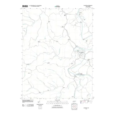
2010 Map of Elizabeth
USGS Topo · Published 2010About this map
The Little Kanawha River carves a winding course through this 2010 survey of Wirt County, anchoring the riverside settlements of Elizabeth and Palestine. This region is defined by its deep cultural roots, evidenced by the numerous family and community burial grounds dotting the hills, including the Beauchamp-Newman Cemetery and Wells-Seaton Cemetery. The landscape transitions from the river valley to prominent heights like Jephany Knob and Elizabeth Hill, with the Palestine State Fish Hatchery standing out as a significant local landmark along the water.
Find a feature on this map
89 named features on this map. Tap any name to fly to it.
Don’t see what you’re looking for? This feature index may not catch every label — zoom into the map to look around manually.
Map Details
Editions of this 2010 Elizabeth Map
This is the sole edition of this map. No revisions or reprints were ever made.
Other maps of this area

1906 · Elizabeth
USGS Topo · 1:62,500

1906 · Belleville
USGS Topo · 1:62,500

1907 · Spencer
USGS Topo · 1:62,500

1907 · Ripley
USGS Topo · 1:62,500

1924 · Belleville
USGS Topo · 1:62,500

1924 · Elizabeth
USGS Topo · 1:62,500

1926 · Elizabeth
USGS Topo · 1:62,500

1926 · Belleville
USGS Topo · 1:62,500

1926 · Ripley
USGS Topo · 1:62,500

1928 · Spencer
USGS Topo · 1:62,500