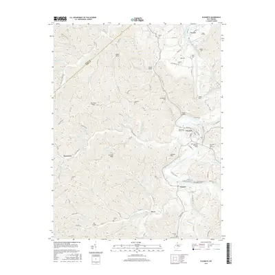
2016 Map of Elizabeth
USGS Topo · Published 2016About this map
The Little Kanawha River carves a winding path through the center of this Wirt County survey, anchoring the development of Elizabeth and the downstream settlement of Palestine. This era of the landscape is defined by its ridge-and-hollow topography, where names like Courtney Ridge, Morehead Ridge, and Snyder Hollow reflect generations of local land use. The town of Elizabeth serves as the focal point, featuring the WWII Veterans Memorial Bridge and historically significant sites such as the Beauchamp-Newman Cem.
Find a feature on this map
108 named features on this map. Tap any name to fly to it.
Don’t see what you’re looking for? This feature index may not catch every label — zoom into the map to look around manually.
Map Details
Editions of this 2016 Elizabeth Map
This is the sole edition of this map. No revisions or reprints were ever made.
Other maps of this area

1906 · Elizabeth
USGS Topo · 1:62,500

1906 · Belleville
USGS Topo · 1:62,500

1907 · Spencer
USGS Topo · 1:62,500

1907 · Ripley
USGS Topo · 1:62,500

1924 · Belleville
USGS Topo · 1:62,500

1924 · Elizabeth
USGS Topo · 1:62,500

1926 · Elizabeth
USGS Topo · 1:62,500

1926 · Belleville
USGS Topo · 1:62,500

1926 · Ripley
USGS Topo · 1:62,500

1928 · Spencer
USGS Topo · 1:62,500