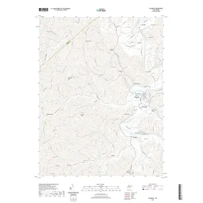
2019 Map of Elizabeth
USGS Topo · Published 2019About this map
Elizabeth serves as the focal point of this Wirt County landscape, situated along a sharp bend of the Little Kanawha River. The town's civic heart is marked by the Wirt County Courthouse, while the surrounding hills are dotted with family and community landmarks like Beauchamp Cem and the WWII Veterans Memorial Bridge. The river's winding path dictates the local geography, connecting smaller settlements such as Newark, Palestine, and Rover.
Find a feature on this map
105 named features on this map. Tap any name to fly to it.
Don’t see what you’re looking for? This feature index may not catch every label — zoom into the map to look around manually.
Map Details
Editions of this 2019 Elizabeth Map
This is the sole edition of this map. No revisions or reprints were ever made.
Other maps of this area

1906 · Elizabeth
USGS Topo · 1:62,500

1906 · Belleville
USGS Topo · 1:62,500

1907 · Spencer
USGS Topo · 1:62,500

1907 · Ripley
USGS Topo · 1:62,500

1924 · Belleville
USGS Topo · 1:62,500

1924 · Elizabeth
USGS Topo · 1:62,500

1926 · Elizabeth
USGS Topo · 1:62,500

1926 · Belleville
USGS Topo · 1:62,500

1926 · Ripley
USGS Topo · 1:62,500

1928 · Spencer
USGS Topo · 1:62,500