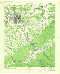
1935 Map of Elizabethton
USGS Topo · Published 1935About this map
The confluence of the Watauga River and Doe River anchors this 1935 industrial and agricultural landscape in Carter County. The city of Elizabethton is shown at a point of significant transition, featuring the extensive Bemberg industrial complex and the operations of the E T & W N C RR. This Tennessee Valley Authority advance sheet highlights the early infrastructure of the region, including the County Home and several gaging stations utilized for river management.
Find a feature on this map
69 named features on this map. Tap any name to fly to it.
Don’t see what you’re looking for? This feature index may not catch every label — zoom into the map to look around manually.
Map Details
Editions of this 1935 Elizabethton Map
This is the sole edition of this map. No revisions or reprints were ever made.
Other maps of this area

1891 · Roan Mountain
USGS Topo · 1:125,000

1894 · Roan Mountain
USGS Topo · 1:125,000

1904 · Roan Mountain
USGS Topo · 1:125,000
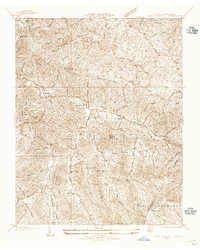
1934 · White Rocks Mtn
USGS Topo · 1:24,000
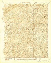
1934 · Iron Mtn Gap
USGS Topo · 1:24,000
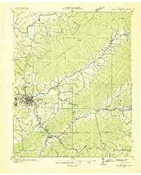
1935 · Watauga Valley
USGS Topo · 1:48,000
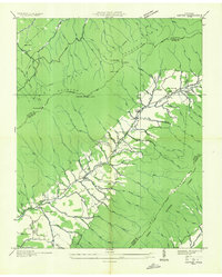
1935 · Carter
USGS Topo · 1:24,000
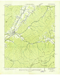
1935 · Unicoi
USGS Topo · 1:24,000
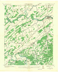
1935 · Bluff City
USGS Topo · 1:24,000
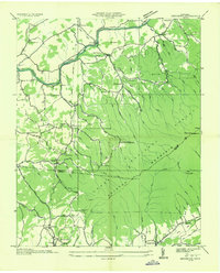
1935 · Keenburg
USGS Topo · 1:24,000