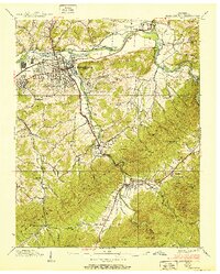
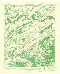
1938 Map of Elizabethton
USGS Topo · Published 1951About this map
Elizabethton sits at the confluence of the Watauga River and the Doe River, serving as a busy industrial and transportation hub in the late 1930s. The presence of the Bemberg district and the Southern Railway network highlights the era's manufacturing growth, while the surrounding hills are dotted with small agricultural and residential pockets like Biltmore, Siam, and Rayon Terrace. The landscape is heavily defined by the winding river valleys and the looming heights of Lynn Mountain and Iron Mountain.
Find a feature on this map
87 named features on this map. Tap any name to fly to it.
Don’t see what you’re looking for? This feature index may not catch every label — zoom into the map to look around manually.
Map Details
Editions of this 1938 Elizabethton Map
2 editions found
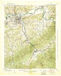
Other maps of this area

1891 · Roan Mountain
USGS Topo · 1:125,000

1894 · Roan Mountain
USGS Topo · 1:125,000

1904 · Roan Mountain
USGS Topo · 1:125,000

1934 · White Rocks Mtn
USGS Topo · 1:24,000

1934 · Iron Mtn Gap
USGS Topo · 1:24,000

1935 · Watauga Valley
USGS Topo · 1:48,000
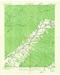
1935 · Carter
USGS Topo · 1:24,000

1935 · Elizabethton
USGS Topo · 1:24,000
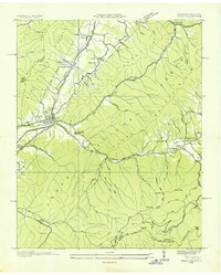
1935 · Unicoi
USGS Topo · 1:24,000
1935 · Bluff City
USGS Topo · 1:24,000