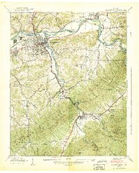
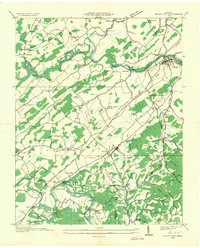
1938 Map of Elizabethton
USGS Topo · Published 1938About this map
The industrial and agricultural convergence at Elizabethton is clear in this late-1930s survey, where the Watauga River and Doe River meet. The presence of the Bemberg settlement and a transmission line running through Lynn Mountain highlights the era’s electrification and manufacturing growth. Further south, the map documents the East Tennessee and Western North Carolina railroad winding toward Hampton and Braemar, essential for moving resources through the gap between Greek Mountain and Iron Mountains.
Find a feature on this map
97 named features on this map. Tap any name to fly to it.
Don’t see what you’re looking for? This feature index may not catch every label — zoom into the map to look around manually.
Map Details
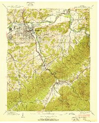
Editions of this 1938 Elizabethton Map
2 editions found
Other maps of this area

1891 · Roan Mountain
USGS Topo · 1:125,000

1894 · Roan Mountain
USGS Topo · 1:125,000

1904 · Roan Mountain
USGS Topo · 1:125,000

1934 · White Rocks Mtn
USGS Topo · 1:24,000

1934 · Iron Mtn Gap
USGS Topo · 1:24,000

1935 · Watauga Valley
USGS Topo · 1:48,000
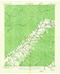
1935 · Carter
USGS Topo · 1:24,000

1935 · Elizabethton
USGS Topo · 1:24,000
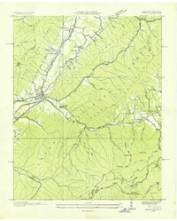
1935 · Unicoi
USGS Topo · 1:24,000
1935 · Bluff City
USGS Topo · 1:24,000