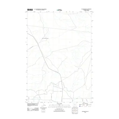
2012 Map of Elk Basin SW
USGS Topo · Published 2012About this map
West Fork Big Sand Coulee carves through this northern Park County landscape, defining the arid drainage patterns of the Bighorn Basin. In the early 21st century, the area shows a transition from the natural watercourses of N Alkali Cr to a highly structured agricultural grid in the south. This managed water system is anchored by the Ralston Lateral and Canal Rd, alongside irrigation features like Lateral R-9 N and Lateral H-141. The layout of numbered roads, including Road 19 and Road 15, provides a window into the organized land distribution of this high-plains region. Scattered features such as the Alkali Cr Patch highlight the localized names and land uses that characterize this rural Wyoming terrain.
Find a feature on this map
15 named features on this map. Tap any name to fly to it.
Don’t see what you’re looking for? This feature index may not catch every label — zoom into the map to look around manually.
Map Details
Editions of this 2012 Elk Basin SW Map
This is the sole edition of this map. No revisions or reprints were ever made.
Other maps of this area

1949 · Cody
USGS Topo · 1:62,500

1950 · Clark
USGS Topo · 1:62,500

1951 · Cody
USGS Topo · 1:62,500

1955 · Cody
USGS Topo · 1:250,000

1958 · Cody
USGS Topo · 1:250,000

1962 · Cody
USGS Topo · 1:250,000

1966 · Elk Basin SW
USGS Topo · 1:24,000

1966 · Elk Basin
USGS Topo · 1:24,000

1966 · Elk Basin NW
USGS Topo · 1:24,000

1966 · Elk Basin SE
USGS Topo · 1:24,000