Loading...
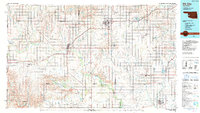
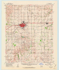
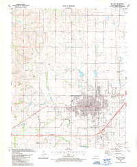
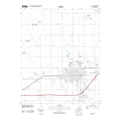
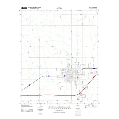
Loading map...1985 Map of Elk City
USGS Topo · Published 1990About this map
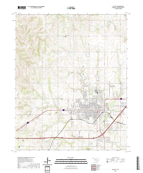
The North Fork Red River snakes across this western Oklahoma landscape, defining the topography of Beckham and Greer counties in the mid-1980s. This regional survey centers on the transit and aviation hubs of Elk City and Sayre, the latter being the site of SW Oklahoma State Univ Sayre. The era's infrastructure is dominated by the corridor of Interstate 40 and the Chicago Rock Island and Pacific RR, which connect agricultural settlements like Canute, Erick, and Texola near the Texas border.
Find a feature on this map
63 named features on this map. Tap any name to fly to it.
Don’t see what you’re looking for? This feature index may not catch every label — zoom into the map to look around manually.
Map Details
Date Portrayed1985
Date Published1990
PublisherU.S. Geological Survey
Map TypeTopographic
Scale1:100,000
Physical Dimensions42.5 x 24 inches
Editions of this 1985 Elk City Map
2 editions found

Historical Maps of Elk City Through Time
8 maps found
Featured Locations
Source Details
SourceU.S. Geological Survey
CopyrightPublic Domain