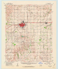
1987 Map of Elk City
USGS Topo · Published 1987About this map
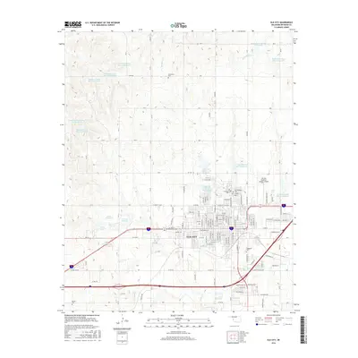
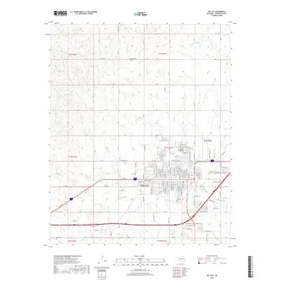
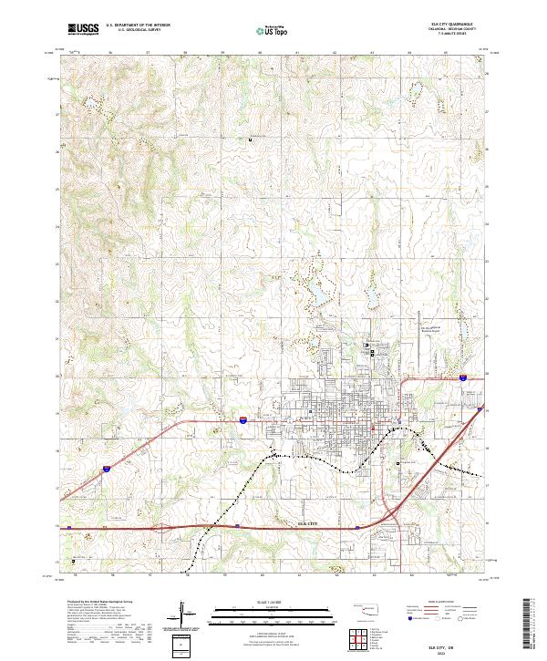
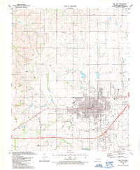
Elk City's late-century urban layout is defined by its strategic position along the Farmrail railroad and its network of community institutions. The map reveals a robust collection of local landmarks, including the Old Town Museum and Ackley Park, alongside critical infrastructure like the Muni Airport. For family historians, the area is notably well-documented with several burial grounds including Fairlawn, Evergreen Cem, and Calvary Cem, providing a clear geography for genealogical research. The landscape around Elk Creek is punctuated by numerous gas wells and specialized facilities such as the Pumping Station, illustrating the region's energy-based economy. Educational and religious life is also well-represented through the presence of Grandview Sch, Merritt Sch, and several denominations ranging from Faith Chapel to the First Love Christian Fellowship Ch.
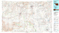
Find a feature on this map
52 named features on this map. Tap any name to fly to it.
Don’t see what you’re looking for? This feature index may not catch every label — zoom into the map to look around manually.
Map Details
Editions of this 1987 Elk City Map
This is the sole edition of this map. No revisions or reprints were ever made.
Historical Maps of Elk City Through Time
8 maps found