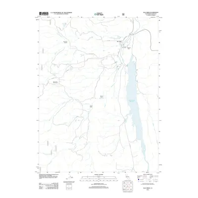
2012 Map of Elk Creek
USGS Topo · Published 2012About this map
Stony Gorge Reservoir dominates the eastern edge of this Glenn County landscape, where the waters of Stony Cr are impounded south of Bidwell Point. The small settlement of Elk Creek serves as a local hub near the confluence of several drainages, marked by its Po and the nearby Elk Creek Butte Lookout. The terrain transitions from the reservoir flats into the rising elevations of the west, where narrow canyons and valleys like Bowman Canyon and Green Valley are carved by a network of seasonal streams including Briscoe Cr, Clover Cr, and Mad Cr.
Find a feature on this map
34 named features on this map. Tap any name to fly to it.
Don’t see what you’re looking for? This feature index may not catch every label — zoom into the map to look around manually.
Map Details
Editions of this 2012 Elk Creek Map
This is the sole edition of this map. No revisions or reprints were ever made.
Other maps of this area

1919 · Fruto
USGS Topo · 1:62,500

1919 · Elk Creek
USGS Topo · 1:62,500

1943 · Lodoga
USGS Topo · 1:62,500

1944 · Fruto
USGS Topo · 1:62,500

1948 · Elk Creek
USGS Topo · 1:62,500

1951 · Stonyford
USGS Topo · 1:62,500

1957 · Elk Creek
USGS Topo · 1:62,500

1957 · Ukiah
USGS Topo · 1:250,000
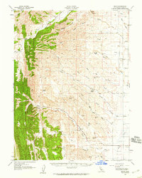
1958 · Fruto
USGS Topo · 1:62,500

1960 · Ukiah
USGS Topo · 1:250,000