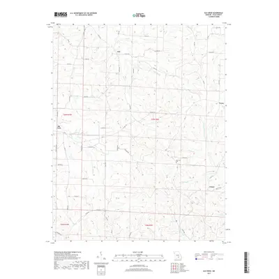
2017 Map of Elk Creek
USGS Topo · Published 2017About this map
The community of Elk Creek serves as a focal point for this Texas County landscape, where the Ozark Highlands are deeply dissected by an intricate drainage network. Small settlements like Solo, Tyrone, and Grogan are linked by a web of county roads and state highways such as HWY H, reflecting the persistent rural settlement pattern of southern Missouri. The terrain is defined by the headwaters of significant watercourses, notably the N Prong Jacks Fork and S Prong Jacks Fork, which eventually contribute to the region's famed river systems.
Find a feature on this map
65 named features on this map. Tap any name to fly to it.
Don’t see what you’re looking for? This feature index may not catch every label — zoom into the map to look around manually.
Map Details
Editions of this 2017 Elk Creek Map
This is the sole edition of this map. No revisions or reprints were ever made.
Other maps of this area

1941 · Bado
USGS Topo · 1:62,500

1943 · Bado
USGS Topo · 1:62,500

1945 · Clear Springs
USGS Topo · 1:62,500

1948 · Clear Springs
USGS Topo · 1:62,500

1949 · Rolla
USGS Topo · 1:250,000

1951 · Raymondville
USGS Topo · 1:24,000

1951 · Cabool SE
USGS Topo · 1:24,000

1951 · Houston
USGS Topo · 1:24,000

1951 · Cabool NE
USGS Topo · 1:24,000

1951 · Cabool
USGS Topo · 1:62,500