
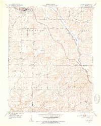
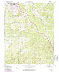
1951 Map of Cabool SE
USGS Topo · Published 1952About this map
Cabool serves as the focal point for this early 1950s survey of Texas County, situated at the confluence of U.S. 60 and U.S. 63. The northern half of the quadrangle is defined by the agricultural and railroad activity along the ST Louis - San Francisco line, which connects the town to smaller settlements like Sargent and Sterling. This corridor is dotted with local institutions like the Sargent Sch and Sargent Cem.
Find a feature on this map
40 named features on this map. Tap any name to fly to it.
Don’t see what you’re looking for? This feature index may not catch every label — zoom into the map to look around manually.
Map Details
Editions of this 1951 Cabool SE Map
6 editions found
Other maps of this area

1939 · Topaz
USGS Topo · 1:62,500

1941 · Topaz
USGS Topo · 1:62,500

1945 · Harrison
USGS Topo · 1:250,000

1945 · Willow Springs
USGS Topo · 1:62,500

1945 · Clear Springs
USGS Topo · 1:62,500

1948 · Clear Springs
USGS Topo · 1:62,500

1948 · Willow Springs
USGS Topo · 1:62,500

1949 · Harrison
USGS Topo · 1:250,000

1949 · Rolla
USGS Topo · 1:250,000

1950 · Cabool SW
USGS Topo · 1:24,000