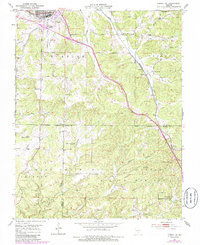
1951 Map of Cabool SE
USGS Topo · Published 1985About this map
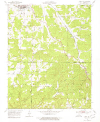
The Piney River winds through the northern reaches of this Missouri landscape, where the Burlington Northern railroad corridor dictates the path of commerce between Cabool and the smaller settlements of Sargent and Sterling. The topography transitions from the river valley into the wooded uplands of the Mark Twain National Forest, which dominates the southern half of the quadrangle. This mid-century survey reveals a rural society organized around its district schools and country churches, such as Union Sch, Ozark Sch, and Mt Pisgah Ch. While some centers of community life were already fading, as evidenced by the Forest Flower Sch (Abandoned), the map records the enduring presence of family-named landmarks like Cedar Bluff Cem and Jones Cem, along with the high-elevation Sterling Lookout Tower, which served as a sentinel over the forest canopy during this era.
Find a feature on this map
37 named features on this map. Tap any name to fly to it.
Don’t see what you’re looking for? This feature index may not catch every label — zoom into the map to look around manually.
Map Details
Editions of this 1951 Cabool SE Map
6 editions found

Other maps of this area

1939 · Topaz
USGS Topo · 1:62,500

1941 · Topaz
USGS Topo · 1:62,500

1945 · Harrison
USGS Topo · 1:250,000

1945 · Willow Springs
USGS Topo · 1:62,500

1945 · Clear Springs
USGS Topo · 1:62,500

1948 · Clear Springs
USGS Topo · 1:62,500

1948 · Willow Springs
USGS Topo · 1:62,500

1949 · Harrison
USGS Topo · 1:250,000

1949 · Rolla
USGS Topo · 1:250,000

1950 · Cabool SW
USGS Topo · 1:24,000