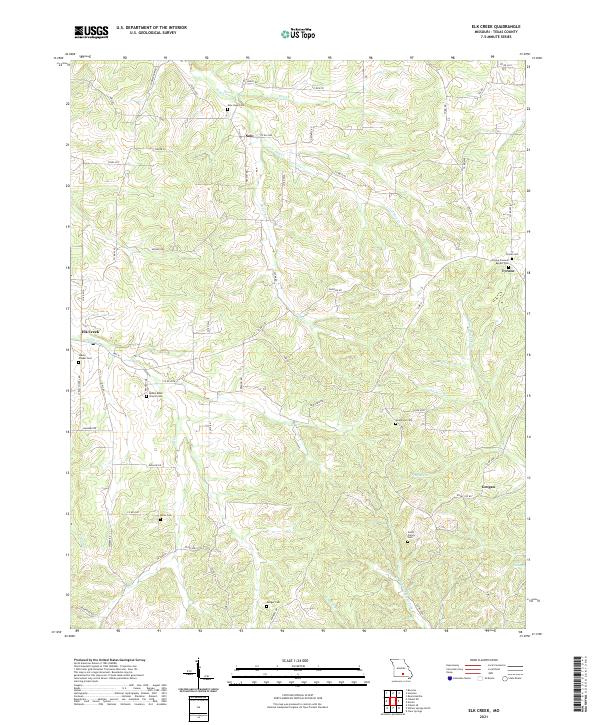
2021 Map of Elk Creek
USGS Topo · Published 2021About this map
Solo and Tyrone anchor the high ground in this section of Texas County, where the Ozark landscape is defined by the headwaters of the Jacks Fork. Small settlements like Elk Creek and Grogan are connected by a network of rural routes such as Hwy H and Co Rd 4170, serving a community with deep roots visible in its numerous burial grounds. Genealogists can find important family landmarks like the Stultz Family Cem, Miller Cem, and Nearhome Cem. The terrain is carved by a dense drainage system including Hog Cr and the N Prong Jacks Fork, showing the transition from upland ridges to the hollows of the Southern Missouri hills. Religious life is marked by the Bethel Bible Church Cem and the Tyrone Freewill Baptist Cem, documenting the enduring social centers of this rural interior.
Find a feature on this map
70 named features on this map. Tap any name to fly to it.
Don’t see what you’re looking for? This feature index may not catch every label — zoom into the map to look around manually.
Map Details
Editions of this 2021 Elk Creek Map
This is the sole edition of this map. No revisions or reprints were ever made.
Other maps of this area

1941 · Bado
USGS Topo · 1:62,500

1943 · Bado
USGS Topo · 1:62,500

1945 · Clear Springs
USGS Topo · 1:62,500

1948 · Clear Springs
USGS Topo · 1:62,500

1949 · Rolla
USGS Topo · 1:250,000

1951 · Raymondville
USGS Topo · 1:24,000

1951 · Cabool SE
USGS Topo · 1:24,000

1951 · Houston
USGS Topo · 1:24,000

1951 · Cabool NE
USGS Topo · 1:24,000

1951 · Cabool
USGS Topo · 1:62,500