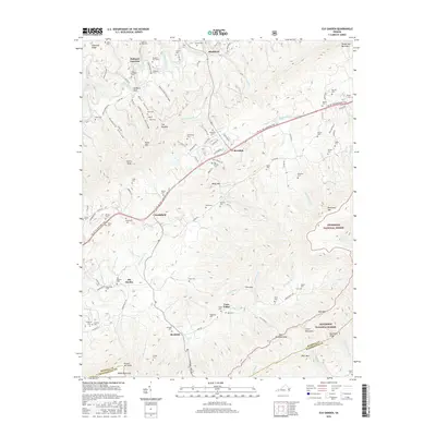
2016 Map of Elk Garden
USGS Topo · Published 2016About this map
Elk Garden and its surrounding communities are documented here within the high ridges of southwestern Virginia. The settlement pattern follows the contours of the land, with small clusters of homes and family farms concentrated in valleys like Corn Valley and along watercourses such as Elk Garden Cr. The landscape is notably dense with family burial grounds, including the Mutter Cem, Ratcliff Cem, and Kendrick Cem, reflecting deep ancestral ties to the area.
Find a feature on this map
115 named features on this map. Tap any name to fly to it.
Don’t see what you’re looking for? This feature index may not catch every label — zoom into the map to look around manually.
Map Details
Editions of this 2016 Elk Garden Map
This is the sole edition of this map. No revisions or reprints were ever made.
Other maps of this area

1886 · Grundy
USGS Topo · 1:125,000

1890 · Grundy
USGS Topo · 1:125,000

1891 · Tazewell
USGS Topo · 1:125,000

1891 · Abingdon
USGS Topo · 1:125,000

1892 · Grundy
USGS Topo · 1:125,000

1894 · Abingdon
USGS Topo · 1:125,000

1895 · Tazewell
USGS Topo · 1:125,000

1897 · Tazewell
USGS Topo · 1:125,000

1897 · Bristol
USGS Topo · 1:125,000

1902 · Bristol
USGS Topo · 1:125,000