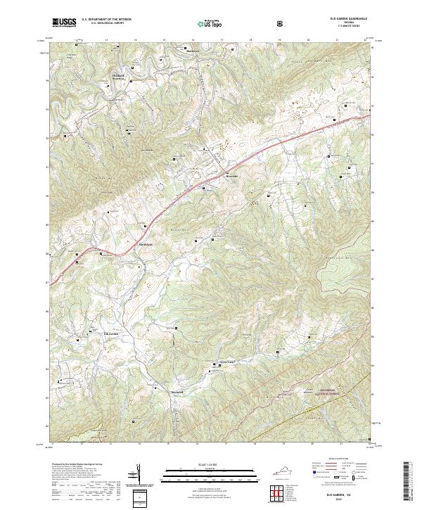
2022 Map of Elk Garden
USGS Topo · Published 2022About this map
Clinch River headwaters and the rising elevations of the Jefferson National Forest define this Southwest Virginia landscape. The area is characterized by a dense concentration of family cemeteries, such as the Mutter Cem, Bays Cem, and Smith Cem, reflecting generations of settlement in the valleys between Clinch Mountain and House and Barn Mtn. Small communities like Elk Garden and Corn Valley are connected by local routes and the storied Trl of the Lonesome Pine, which traverses the central valley. The topography is marked by distinct geological features like The Doubles and The Loop, while the presence of the Heart Of Appalachia Bike Route Trl suggests a shift toward recreational use of the traditional mountain gaps and hollows such as Hess Hollow and Petrick Hollow.
Find a feature on this map
81 named features on this map. Tap any name to fly to it.
Don’t see what you’re looking for? This feature index may not catch every label — zoom into the map to look around manually.
Map Details
Editions of this 2022 Elk Garden Map
This is the sole edition of this map. No revisions or reprints were ever made.
Other maps of this area

1886 · Grundy
USGS Topo · 1:125,000

1890 · Grundy
USGS Topo · 1:125,000

1891 · Tazewell
USGS Topo · 1:125,000

1891 · Abingdon
USGS Topo · 1:125,000

1892 · Grundy
USGS Topo · 1:125,000

1894 · Abingdon
USGS Topo · 1:125,000

1895 · Tazewell
USGS Topo · 1:125,000

1897 · Tazewell
USGS Topo · 1:125,000

1897 · Bristol
USGS Topo · 1:125,000

1902 · Bristol
USGS Topo · 1:125,000