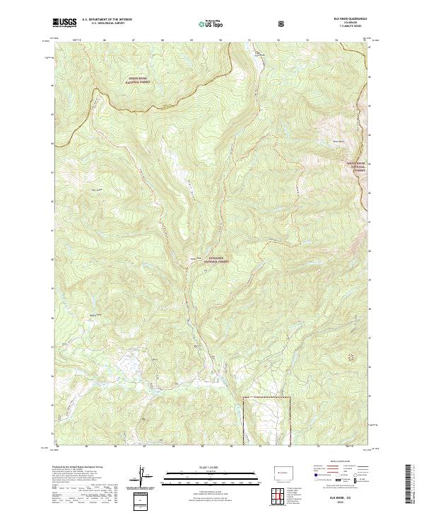
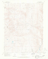
2022 Map of Elk Knob
USGS Topo · Published 2022About this map
White River National Forest and Gunnison National Forest meet in this high-altitude landscape defined by steep drainages and a network of remote pack trails. The terrain is centered on Elk Knob and the prominent Huntsman Ridge, which divides the watershed between numerous creeks including Jones Cr and Clear Fork. The map documents a sparsely settled region where open spaces like Jones Park and Battle Park offer rare level ground amidst the mountains. Notable water management is evident in the Clear Fork Ditch, while the primitive transportation network is preserved through routes such as Clearfork Trl and Gooseberry Trl, indicating the area's continued use for grazing, forestry, and rugged recreation.
Find a feature on this map
47 named features on this map. Tap any name to fly to it.
Don’t see what you’re looking for? This feature index may not catch every label — zoom into the map to look around manually.
Map Details
Editions of this 2022 Elk Knob Map
This is the sole edition of this map. No revisions or reprints were ever made.
Other maps of this area

1957 · Leadville
USGS Topo · 1:250,000

1959 · Leadville
USGS Topo · 1:250,000

1960 · Leadville
USGS Topo · 1:250,000

1961 · Electric Mountain
USGS Topo · 1:24,000

1961 · Spruce Mountain
USGS Topo · 1:24,000

1962 · Leadville
USGS Topo · 1:250,000
1963 · Chair Mountain
USGS Topo · 1:24,000
1963 · Flatiron Mountain
USGS Topo · 1:24,000
1963 · Bull Mountain
USGS Topo · 1:24,000
1963 · Placita
USGS Topo · 1:24,000