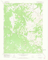
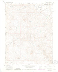
1963 Map of Bull Mountain
USGS Topo · Published 1967About this map
The high ranching and grazing lands of the Gunnison National Forest are documented here in the early 1960s, a landscape defined by seasonal camps and water management. Isolated outposts such as Harry Parker Place, Patterson Place, and the Hotchkiss Sheep Camp indicate the area's importance for livestock during this era. These family-named landmarks are connected by a network of primitive routes, including the Drift Trail and Roberts Trail, which navigate the complex drainage systems of Muddy Creek and Henderson Creek.
Find a feature on this map
35 named features on this map. Tap any name to fly to it.
Don’t see what you’re looking for? This feature index may not catch every label — zoom into the map to look around manually.
Map Details
Editions of this 1963 Bull Mountain Map
5 editions found
Other maps of this area

1938 · Mt. Gunnison
USGS Topo · 1:48,000

1945 · Mount Gunnison
USGS Topo · 1:62,500

1956 · Montrose
USGS Topo · 1:250,000

1957 · Leadville
USGS Topo · 1:250,000

1959 · Leadville
USGS Topo · 1:250,000

1959 · Montrose
USGS Topo · 1:250,000

1960 · Leadville
USGS Topo · 1:250,000

1960 · Montrose
USGS Topo · 1:250,000

1961 · Electric Mountain
USGS Topo · 1:24,000

1961 · Spruce Mountain
USGS Topo · 1:24,000