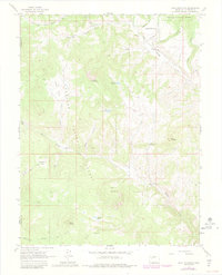
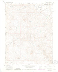
1963 Map of Bull Mountain
USGS Topo · Published 1984About this map
Gunnison National Forest dominates this landscape along the border of Delta and Gunnison counties, revealing a high-country terrain defined by sheep ranching and seasonal camps. Family-named landmarks such as Patterson Place and Harry Parker Place suggest the early settlement history of the region, while the Hotchkiss Sheep Camp and Brown Cow Camp point to the area's agricultural utility in the mid-20th century.
Find a feature on this map
33 named features on this map. Tap any name to fly to it.
Don’t see what you’re looking for? This feature index may not catch every label — zoom into the map to look around manually.
Map Details
Editions of this 1963 Bull Mountain Map
5 editions found
Other maps of this area

1938 · Mt. Gunnison
USGS Topo · 1:48,000

1945 · Mount Gunnison
USGS Topo · 1:62,500

1956 · Montrose
USGS Topo · 1:250,000

1957 · Leadville
USGS Topo · 1:250,000

1959 · Leadville
USGS Topo · 1:250,000

1959 · Montrose
USGS Topo · 1:250,000

1960 · Leadville
USGS Topo · 1:250,000

1960 · Montrose
USGS Topo · 1:250,000

1961 · Electric Mountain
USGS Topo · 1:24,000

1961 · Spruce Mountain
USGS Topo · 1:24,000