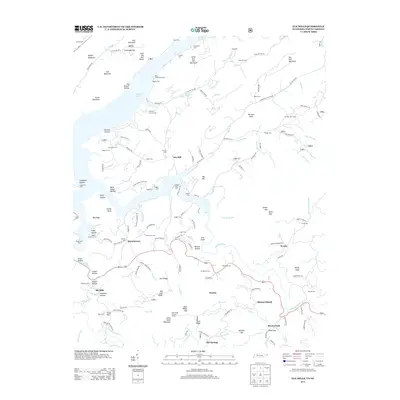
2013 Map of Elk Mills
USGS Topo · Published 2013About this map
Watauga Lake dominates this mountain landscape, its northern reaches winding into the Little Dry Run Valley and several hollows. The settlement of Elk Mills sits along the Elk River, while smaller mountain communities like Buntontown, Peoria, and Mount Gilead are connected by a network of rural roads such as Millard Cable Rd and Banjo Ridge Rd. The map is particularly rich in family burial grounds and small local cemeteries, including the Stansberry Cem, Wagner Cem, and Crosswhite Cem, which provide a detailed record of long-standing local lineages in this corner of Northeast Tennessee.
Find a feature on this map
152 named features on this map. Tap any name to fly to it.
Don’t see what you’re looking for? This feature index may not catch every label — zoom into the map to look around manually.
Map Details
Editions of this 2013 Elk Mills Map
This is the sole edition of this map. No revisions or reprints were ever made.
Other maps of this area

1891 · Roan Mountain
USGS Topo · 1:125,000

1893 · Cranberry
USGS Topo · 1:125,000

1894 · Roan Mountain
USGS Topo · 1:125,000

1895 · Cranberry
USGS Topo · 1:125,000

1899 · Cranberry
USGS Topo · 1:125,000

1902 · Cranberry
USGS Topo · 1:125,000

1904 · Roan Mountain
USGS Topo · 1:125,000

1934 · Valle Crucis
USGS Topo · 1:24,000

1934 · White Rocks Mtn
USGS Topo · 1:24,000

1934 · Elk Park
USGS Topo · 1:24,000