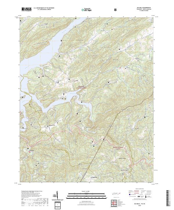
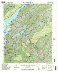
2022 Map of Elk Mills
USGS Topo · Published 2022About this map
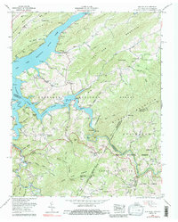
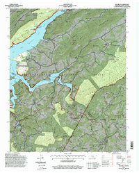
Cherokee National Forest and Pisgah National Forest converge in this high-elevation corner where Tennessee meets North Carolina. The landscape is defined by the waters of Watauga Lake and the Watauga River, which carved deep valleys between massifs like Gipson Mtn and the Stone Mountains. Small communities such as Buntontown and Elk Mills are situated along the riverbanks and winding mountain roads, showing a settlement pattern dictated by the steep topography.
Find a feature on this map
152 named features on this map. Tap any name to fly to it.
Don’t see what you’re looking for? This feature index may not catch every label — zoom into the map to look around manually.
Map Details
Editions of this 2022 Elk Mills Map
This is the sole edition of this map. No revisions or reprints were ever made.
Historical Maps of Flat Springs Through Time
11 maps found
1935 Doe
Johnson County, TN
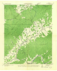
1935 Laurel Bloomery
Johnson County, TN
1938 Doe
Johnson County, TN
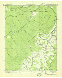
1938 Laurel Bloomery
Johnson County, TN
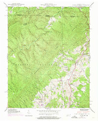
1959 Elk Mills
Johnson County, TN
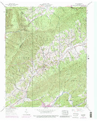
1994 Elk Mills
Johnson County, TN
2003 Elk Mills
Johnson County, TN
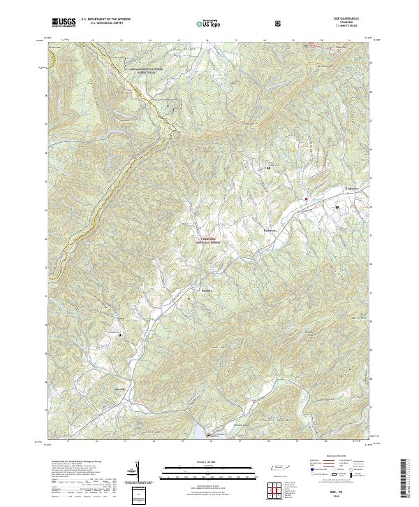
2022 Doe
Johnson County, TN
2022 Elk Mills
Johnson County, TN
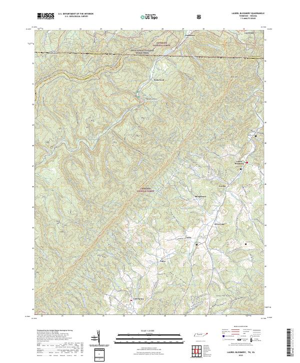
2022 Laurel Bloomery
Johnson County, TN
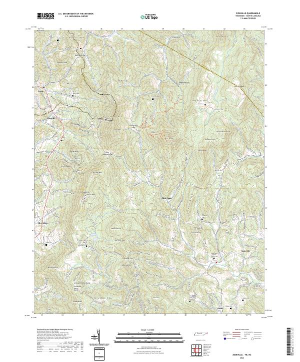
2022 Zionville
Johnson County, TN