
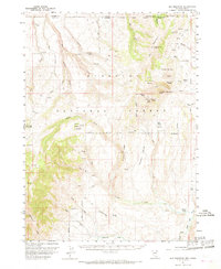
1957 Map of Elk Mountain
USGS Topo · Published 1961About this map
Humboldt National Forest dominates this mid-century landscape along the Idaho-Nevada state line, where the high desert meets the volcanic plateaus of the Great Basin. The area is defined by a network of drainage forks including the North Fork, Middle Fork, and South Fork that feed into the larger Canyon Creek and Salmon Falls Creek systems. Human presence is sparse, centered on the O'Neil Ranch and the Pole Creek Ranger Sta, with several mines and a Quarry indicating the region's mineral interests. The topography is exceptionally varied, rising from the Buckhorn Pasture and Choke-a-man Draw to prominent peaks such as Red Elephant Butte and White Elephant Butte. Numerous benchmarks, such as BM 9223, indicate the high elevation of the Elk Mountain range during this 1957 survey.
Find a feature on this map
55 named features on this map. Tap any name to fly to it.
Don’t see what you’re looking for? This feature index may not catch every label — zoom into the map to look around manually.
Map Details
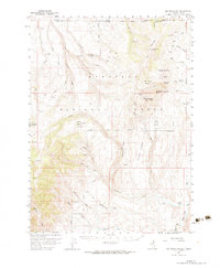
Editions of this 1957 Elk Mountain Map
3 editions found
Other maps of this area

1943 · Jarbidge
USGS Topo · 1:62,500

1945 · Jarbidge
USGS Topo · 1:62,500

1955 · Twin Falls
USGS Topo · 1:250,000

1955 · Wells
USGS Topo · 1:250,000

1957 · Contact
USGS Topo · 1:62,500

1958 · Wells
USGS Topo · 1:250,000

1958 · Twin Falls
USGS Topo · 1:250,000

1961 · Wells
USGS Topo · 1:250,000

1968 · Hubbard Basin
USGS Topo · 1:24,000

1968 · Marys River Basin NE
USGS Topo · 1:24,000