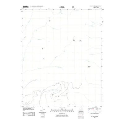
2011 Map of Elk Mountain
USGS Topo · Published 2011About this map
Elk Mountain and the high elevations of the Santa Fe Mountains dominate this high-country survey of San Miguel County. The landscape is defined by a dense network of watercourses and alpine meadows, including Valle Largo, Valle Medio, and Valle Alto. The drainage patterns are clearly delineated, with the Pecos River and Rio Mora cutting through the western portion of the quadrangle, while the Sapello River and Beaver Creek flow toward the east. This era shows limited human infrastructure in the wilderness, primarily represented by isolated points like Vegas Bonita and a few access ways such as Forest 645 Rd.
Find a feature on this map
26 named features on this map. Tap any name to fly to it.
Don’t see what you’re looking for? This feature index may not catch every label — zoom into the map to look around manually.
Map Details
Editions of this 2011 Elk Mountain Map
This is the sole edition of this map. No revisions or reprints were ever made.
Other maps of this area
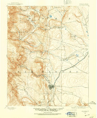
1889 · Las Vegas
USGS Topo · 1:125,000
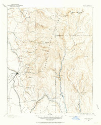
1889 · Santa Fe
USGS Topo · 1:125,000
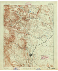
1891 · Las Vegas
USGS Topo · 1:125,000
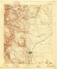
1893 · Las Vegas
USGS Topo · 1:125,000
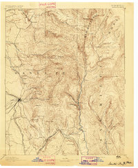
1894 · Santa Fe
USGS Topo · 1:125,000
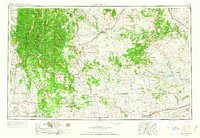
1954 · Santa Fe
USGS Topo · 1:250,000
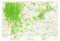
1958 · Santa Fe
USGS Topo · 1:250,000
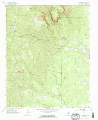
1961 · El Porvenir
USGS Topo · 1:24,000
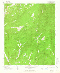
1961 · Honey Boy Ranch
USGS Topo · 1:24,000
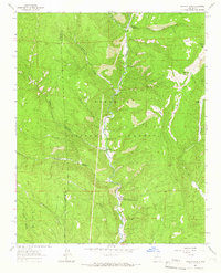
1961 · Rosilla Peak
USGS Topo · 1:24,000