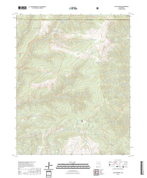
2023 Map of Elk Mountain
USGS Topo · Published 2023About this map
Hamilton Mesa and Mora Flats anchor the high-altitude landscape of the Pecos Wilderness as it appeared in 2023. This terrain is defined by a dense network of trails such as the Sky Line Trl and Esteros Trl, which connect remote water sources like Lost Lake and Burnt Spring. The map documents the headwaters of several significant drainage systems, where the Rio Mora and Cow Creek carve through the Santa Fe National Forest. High peaks including Elk Mtn and Mt Barker dominate the southern portion of the quadrangle, while the northern edge marks the boundary between Mora and San Miguel counties. The transition between Valle Largo and the steep descents of Hollinger Canyon illustrates the complex topography of the Santa Fe Mountains.
Find a feature on this map
98 named features on this map. Tap any name to fly to it.
Don’t see what you’re looking for? This feature index may not catch every label — zoom into the map to look around manually.
Map Details
Editions of this 2023 Elk Mountain Map
This is the sole edition of this map. No revisions or reprints were ever made.
Other maps of this area

1889 · Las Vegas
USGS Topo · 1:125,000

1889 · Santa Fe
USGS Topo · 1:125,000

1891 · Las Vegas
USGS Topo · 1:125,000

1893 · Las Vegas
USGS Topo · 1:125,000

1894 · Santa Fe
USGS Topo · 1:125,000

1954 · Santa Fe
USGS Topo · 1:250,000

1958 · Santa Fe
USGS Topo · 1:250,000

1961 · El Porvenir
USGS Topo · 1:24,000

1961 · Honey Boy Ranch
USGS Topo · 1:24,000

1961 · Rosilla Peak
USGS Topo · 1:24,000