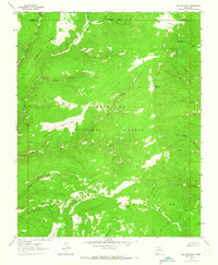
1963 Map of Elk Mountain
USGS Topo · Published 1966About this map
Elk Mountain and the high ridges of Hamilton Mesa dominate this section of the Santa Fe National Forest as it was surveyed in the early 1960s. The landscape is defined by its complex drainage network, where the headwaters of the Mora River and Rio de la Casa carve through a series of alpine meadows and canyons. Named clearings like Mora Flats, Valle Largo, and Valle Medio offer evidence of the high-altitude grazing and transit patterns common to this part of the Sangre de Cristo range.
Find a feature on this map
32 named features on this map. Tap any name to fly to it.
Don’t see what you’re looking for? This feature index may not catch every label — zoom into the map to look around manually.
Map Details
Editions of this 1963 Elk Mountain Map
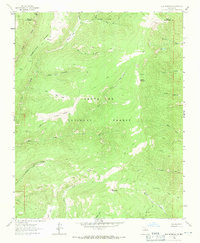
2 editions found
Other maps of this area

1889 · Las Vegas
USGS Topo · 1:125,000

1889 · Santa Fe
USGS Topo · 1:125,000

1891 · Las Vegas
USGS Topo · 1:125,000

1893 · Las Vegas
USGS Topo · 1:125,000

1894 · Santa Fe
USGS Topo · 1:125,000

1954 · Santa Fe
USGS Topo · 1:250,000

1958 · Santa Fe
USGS Topo · 1:250,000

1961 · El Porvenir
USGS Topo · 1:24,000

1961 · Honey Boy Ranch
USGS Topo · 1:24,000

1961 · Rosilla Peak
USGS Topo · 1:24,000