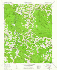
1960 Map of Elk Park
USGS Topo · Published 1962About this map
The mountain community of Elk Park and the neighboring industrial hub at Cranberry define this high-country landscape along the state line between North Carolina and Tennessee. This survey captures a region where agriculture and resource extraction meet the early development of educational and social institutions, exemplified by the campus of Lees-McRae College and the Grandfather Home for Children near Banner Elk. The terrain is marked by high ridges like Beech Mountain and Linville Mountain, with the Elk River carving a valley through the Pisgah National Forest.
Find a feature on this map
129 named features on this map. Tap any name to fly to it.
Don’t see what you’re looking for? This feature index may not catch every label — zoom into the map to look around manually.
Map Details
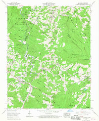
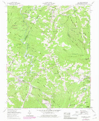
Editions of this 1960 Elk Park Map
3 editions found
Other maps of this area

1891 · Roan Mountain
USGS Topo · 1:125,000

1893 · Cranberry
USGS Topo · 1:125,000

1894 · Roan Mountain
USGS Topo · 1:125,000

1895 · Cranberry
USGS Topo · 1:125,000

1899 · Cranberry
USGS Topo · 1:125,000

1902 · Cranberry
USGS Topo · 1:125,000

1904 · Roan Mountain
USGS Topo · 1:125,000

1934 · Valle Crucis
USGS Topo · 1:24,000

1934 · White Rocks Mtn
USGS Topo · 1:24,000

1934 · Elk Park
USGS Topo · 1:24,000