
1963 Map of Elk Point
USGS Topo · Published 1964About this map
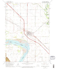
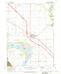
Elk Point serves as the focal point of this 1960s study, situated where the high plains meet the intricate riparian systems of the Missouri River and Big Sioux River. The landscape is a testament to early 1960s rural development, defined by a grid of section lines and a robust network of country schools that anchored the local community. Notable educational landmarks including Plainview Sch, Kline Sch, and Ryan Sch are documented alongside the St Joseph Cem, providing essential points of reference for genealogists and local historians.
Find a feature on this map
27 named features on this map. Tap any name to fly to it.
Don’t see what you’re looking for? This feature index may not catch every label — zoom into the map to look around manually.
Map Details
Editions of this 1963 Elk Point Map
3 editions found
Other maps of this area

1898 · Elk Point
USGS Topo · 1:125,000

1901 · Elk Point
USGS Topo · 1:125,000

1907 · Elk Point
USGS Topo · 1:125,000

1955 · Sioux City
USGS Topo · 1:250,000

1958 · Sioux City
USGS Topo · 1:250,000

1959 · Sioux City
USGS Topo · 1:250,000

1963 · Elk Point NE
USGS Topo · 1:24,000

1963 · Jefferson
USGS Topo · 1:24,000

1964 · Burbank
USGS Topo · 1:24,000
1964 · Ponca
USGS Topo · 1:24,000