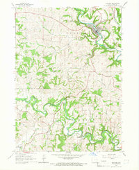
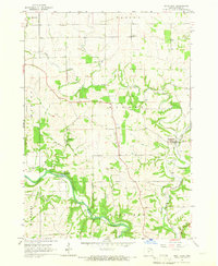
1964 Map of Elkader
USGS Topo · Published 1967About this map
The Turkey River carves a deep valley through this corner of Clayton County, anchoring the town of Elkader. The landscape is defined by its dramatic relief, where Chicken Ridge and Highland rise above the winding waters of the Volga River and Cox Creek. Transport and utility infrastructure of the mid-1960s are clearly visible, from the Elkader Municipal Airport to the corridors of the Chicago Milwaukee St Paul and Pacific railroad. A notable detail for historians is the Old Railroad Grade tracing the Volga near Mederville, marking a shift in the local transit network. Local life is further mapped through the Fairground in Elkader and rural landmarks like the Townhall near the confluence of Coon Creek and the Volga, alongside several generational burial grounds including St Josephs Cem and Hartmann Cem.
Find a feature on this map
30 named features on this map. Tap any name to fly to it.
Don’t see what you’re looking for? This feature index may not catch every label — zoom into the map to look around manually.
Map Details
Editions of this 1964 Elkader Map
This is the sole edition of this map. No revisions or reprints were ever made.
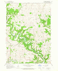
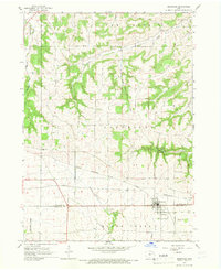
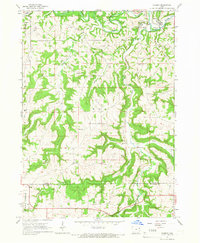
Other maps of this area

1901 · Oelwein
USGS Topo · 1:125,000

1902 · Elkader
USGS Topo · 1:125,000

1959 · Dubuque
USGS Topo · 1:250,000

1961 · Dubuque
USGS Topo · 1:250,000

1962 · Dubuque
USGS Topo · 1:250,000
1964 · Littleport
USGS Topo · 1:24,000
1964 · Edgewood
USGS Topo · 1:24,000
1964 · Garber
USGS Topo · 1:24,000
1965 · Saint Olaf
USGS Topo · 1:24,000
1965 · Farmersburg
USGS Topo · 1:24,000