
1964 Map of Garber
USGS Topo · Published 1967About this map
Garber and Elkport sit at the confluence where the Volga River meets the Turkey River, anchoring a landscape defined by deep river valleys and limestone outcroppings. This mid-century survey captures a rural Iowa river economy where transportation and settlement patterns are dictated by the winding watercourses of Cox Creek, Wolf Creek, and Honey Creek. The area’s genealogical record is remarkably dense, evidenced by numerous family and parish burial grounds such as Asbury Cem, Musfeldt Cem, and St Michaels Cem near Elkport.
Find a feature on this map
35 named features on this map. Tap any name to fly to it.
Don’t see what you’re looking for? This feature index may not catch every label — zoom into the map to look around manually.
Map Details
Editions of this 1964 Garber Map
This is the sole edition of this map. No revisions or reprints were ever made.
Other maps of this area

1902 · Elkader
USGS Topo · 1:125,000

1957 · Colesburg
USGS Topo · 1:24,000

1959 · Dubuque
USGS Topo · 1:250,000

1961 · Dubuque
USGS Topo · 1:250,000

1962 · Dubuque
USGS Topo · 1:250,000
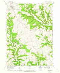
1962 · Garnavillo
USGS Topo · 1:24,000

1962 · Petersburg
USGS Topo · 1:24,000
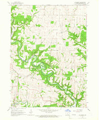
1964 · Littleport
USGS Topo · 1:24,000

1964 · Edgewood
USGS Topo · 1:24,000
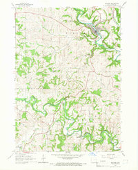
1964 · Elkader
USGS Topo · 1:24,000