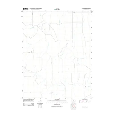
2012 Map of Elkader SW
USGS Topo · Published 2012About this map
The Smoky Hill River meanders across this Logan County landscape, joined by drainage systems including Chalk Cr and Ladder Cr. This 2012 survey illustrates the arid terrain of western Kansas, where erosion has shaped distinctive geological markers such as the Little Pyramids. The map reveals a highly structured grid of rural infrastructure, with roads named for regional themes like Mustang, Jayhawk, and Indian. These thoroughfares, including Gold and Elk, connect the expansive ranchlands and agricultural plots. For those interested in the physical geography of the High Plains, the presence of Burris Draw provides insight into how seasonal water runoff continues to carve the local topography.
Find a feature on this map
14 named features on this map. Tap any name to fly to it.
Don’t see what you’re looking for? This feature index may not catch every label — zoom into the map to look around manually.
Map Details
Editions of this 2012 Elkader SW Map
This is the sole edition of this map. No revisions or reprints were ever made.
Other maps of this area

1939 · Lake Mc Bride
USGS Topo · 1:24,000

1939 · Sandon
USGS Topo · 1:62,500

1939 · Pence
USGS Topo · 1:62,500

1941 · Pence
USGS Topo · 1:62,500

1942 · Sandon
USGS Topo · 1:62,500

1942 · Lake Mc Bride
USGS Topo · 1:31,680

1955 · Scott City
USGS Topo · 1:250,000

1958 · Scott City
USGS Topo · 1:250,000

1972 · Elkader NW
USGS Topo · 1:24,000

1972 · Elkader NE
USGS Topo · 1:24,000