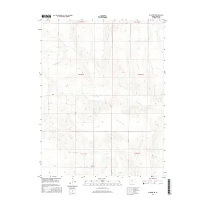
2015 Map of Elkader SW
USGS Topo · Published 2015About this map
The Smoky Hill River meanders across this Logan County landscape, carving a wide valley through the western Kansas high plains. This 2015 survey reveals the intricate topography of the region, specifically highlighting the geological formations known as the Little Pyramids in the southern portion of the quadrangle. The river's path is joined by several drainage features, including Burris Draw, which cuts through the upland breaks.
Find a feature on this map
18 named features on this map. Tap any name to fly to it.
Don’t see what you’re looking for? This feature index may not catch every label — zoom into the map to look around manually.
Map Details
Editions of this 2015 Elkader SW Map
This is the sole edition of this map. No revisions or reprints were ever made.
Other maps of this area

1939 · Lake Mc Bride
USGS Topo · 1:24,000

1939 · Sandon
USGS Topo · 1:62,500

1939 · Pence
USGS Topo · 1:62,500

1941 · Pence
USGS Topo · 1:62,500

1942 · Sandon
USGS Topo · 1:62,500

1942 · Lake Mc Bride
USGS Topo · 1:31,680

1955 · Scott City
USGS Topo · 1:250,000

1958 · Scott City
USGS Topo · 1:250,000

1972 · Elkader NW
USGS Topo · 1:24,000

1972 · Elkader NE
USGS Topo · 1:24,000