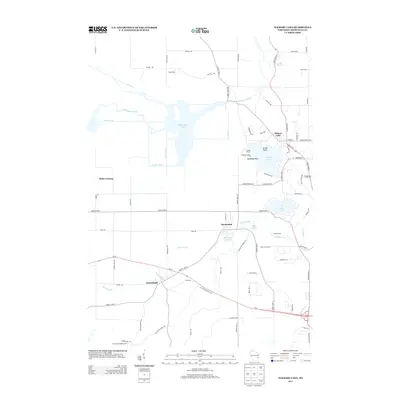
2013 Map of Elkhart Lake
USGS Topo · Published 2013About this map
Elkhart Lake serves as the focal point of this recreational and agricultural landscape in eastern Wisconsin, where the village and its namesake water body are joined by several smaller settlements and family-run operations. The terrain is defined by glacial legacy, most notably traced by the Ice Age Natl Scenic Trl which winds through the southern and western portions of the sheet. Local industry and land use are clearly delineated, from the Drake Dairy and Kuhn Farm in the north to the established camps such as Camp Brosius on the lakefront and Camp Evelyn near the Mullet River.
Find a feature on this map
77 named features on this map. Tap any name to fly to it.
Don’t see what you’re looking for? This feature index may not catch every label — zoom into the map to look around manually.
Map Details
Editions of this 2013 Elkhart Lake Map
This is the sole edition of this map. No revisions or reprints were ever made.
Other maps of this area

1954 · Sheboygan Falls
USGS Topo · 1:62,500

1954 · School Hill
USGS Topo · 1:24,000

1954 · Howards Grove
USGS Topo · 1:62,500

1954 · Franklin
USGS Topo · 1:24,000

1954 · Kiel
USGS Topo · 1:62,500

1954 · Milwaukee
USGS Topo · 1:250,000

1955 · Kewaskum
USGS Topo · 1:62,500

1957 · Madison
USGS Topo · 1:250,000

1958 · Milwaukee
USGS Topo · 1:250,000

1960 · Madison
USGS Topo · 1:250,000