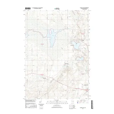
2015 Map of Elkhart Lake
USGS Topo · Published 2015About this map
The waters of Elkhart Lake and Sheboygan Lake anchor this landscape in Sheboygan County, where the glacial history of the Kettle Moraine is etched into the terrain. The area is defined by its distinct hydrological systems, from the expansive marshes of the Main Ditch and Sheboygan River to the smaller kettle basins of Crystal Lake and Otter Pond. High points like Esker Ridge provide a physical record of the region's ancient glacial retreat, influencing the placement of settlements and roads such as Lime Kiln Rd.
Find a feature on this map
94 named features on this map. Tap any name to fly to it.
Don’t see what you’re looking for? This feature index may not catch every label — zoom into the map to look around manually.
Map Details
Editions of this 2015 Elkhart Lake Map
This is the sole edition of this map. No revisions or reprints were ever made.
Other maps of this area

1954 · Sheboygan Falls
USGS Topo · 1:62,500

1954 · School Hill
USGS Topo · 1:24,000

1954 · Howards Grove
USGS Topo · 1:62,500

1954 · Franklin
USGS Topo · 1:24,000

1954 · Kiel
USGS Topo · 1:62,500

1954 · Milwaukee
USGS Topo · 1:250,000

1955 · Kewaskum
USGS Topo · 1:62,500

1957 · Madison
USGS Topo · 1:250,000

1958 · Milwaukee
USGS Topo · 1:250,000

1960 · Madison
USGS Topo · 1:250,000