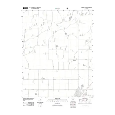
2011 Map of Elkhart North
USGS Topo · Published 2011About this map
Elkhart sits at the southwestern edge of this landscape, serving as a gateway to the grasslands and river bottoms of Morton County. The Cimarron River winds across the northern half of the territory, its course flanked by distinct grazing allotments such as Point Pasture and College Green Pasture. A notable geologic landmark, Point of Rocks, rises near the river, anchoring a terrain defined by managed rangelands and irrigation infrastructure like Happy Ditch.
Find a feature on this map
20 named features on this map. Tap any name to fly to it.
Don’t see what you’re looking for? This feature index may not catch every label — zoom into the map to look around manually.
Map Details
Editions of this 2011 Elkhart North Map
This is the sole edition of this map. No revisions or reprints were ever made.
Other maps of this area

1892 · Vilas
USGS Topo · 1:125,000

1954 · Perryton
USGS Topo · 1:250,000

1954 · Dalhart
USGS Topo · 1:250,000

1955 · La Junta
USGS Topo · 1:250,000

1955 · Dodge City
USGS Topo · 1:250,000

1958 · Perryton
USGS Topo · 1:250,000

1958 · La Junta
USGS Topo · 1:250,000

1958 · Dodge City
USGS Topo · 1:250,000

1958 · Dalhart
USGS Topo · 1:250,000

1959 · Dodge City
USGS Topo · 1:250,000