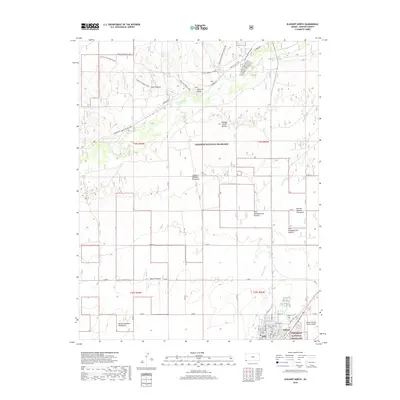
2018 Map of Elkhart North
USGS Topo · Published 2018About this map
Cimarron National Grassland dominates this portion of southwest Kansas, where the Cimarron River winds through a landscape defined by historic trail corridors and managed grazing lands. The map details several sections of the Santa Fe NHT-North Rte and the Santa Fe Nat Hist trail, marking the enduring significance of this overland route. Prominent geological features like Point of Rocks serve as landmarks above the river valley, complemented by the Middle Spring Nature area.
Find a feature on this map
51 named features on this map. Tap any name to fly to it.
Don’t see what you’re looking for? This feature index may not catch every label — zoom into the map to look around manually.
Map Details
Editions of this 2018 Elkhart North Map
This is the sole edition of this map. No revisions or reprints were ever made.
Other maps of this area

1892 · Vilas
USGS Topo · 1:125,000

1954 · Perryton
USGS Topo · 1:250,000

1954 · Dalhart
USGS Topo · 1:250,000

1955 · La Junta
USGS Topo · 1:250,000

1955 · Dodge City
USGS Topo · 1:250,000

1958 · Perryton
USGS Topo · 1:250,000

1958 · La Junta
USGS Topo · 1:250,000

1958 · Dodge City
USGS Topo · 1:250,000

1958 · Dalhart
USGS Topo · 1:250,000

1959 · Dodge City
USGS Topo · 1:250,000