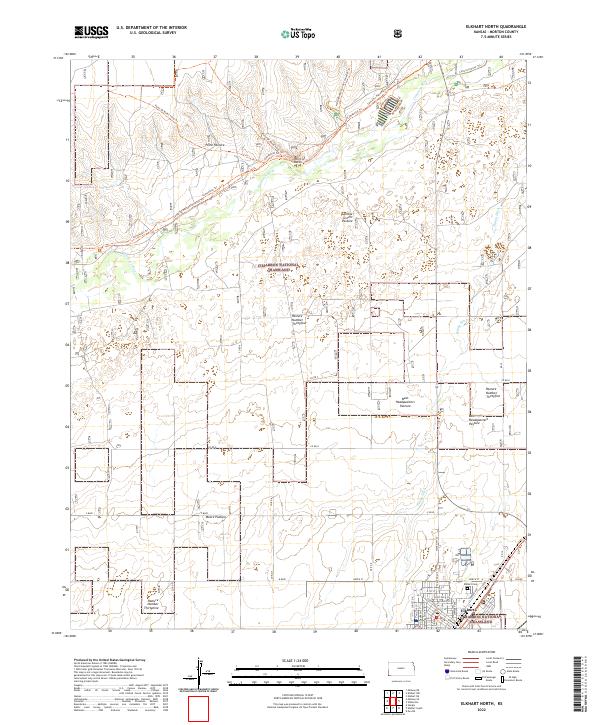
2022 Map of Elkhart North
USGS Topo · Published 2022About this map
The Cimarron National Grassland dominates this portion of Morton County, preserving a landscape defined by the wide sweep of the Cimarron River and the legacy of the old Santa Fe Trail. Modern ranching and conservation efforts are evident in the partitioned management areas such as College Green Pasture, West Headquarters Pasture, and East Headquarters Pasture. These names reflect a organized approach to the shortgrass prairie that has long supported local cattle operations.
Find a feature on this map
44 named features on this map. Tap any name to fly to it.
Don’t see what you’re looking for? This feature index may not catch every label — zoom into the map to look around manually.
Map Details
Editions of this 2022 Elkhart North Map
This is the sole edition of this map. No revisions or reprints were ever made.
Other maps of this area

1892 · Vilas
USGS Topo · 1:125,000

1954 · Perryton
USGS Topo · 1:250,000

1954 · Dalhart
USGS Topo · 1:250,000

1955 · La Junta
USGS Topo · 1:250,000

1955 · Dodge City
USGS Topo · 1:250,000

1958 · Perryton
USGS Topo · 1:250,000

1958 · La Junta
USGS Topo · 1:250,000

1958 · Dodge City
USGS Topo · 1:250,000

1958 · Dalhart
USGS Topo · 1:250,000

1959 · Dodge City
USGS Topo · 1:250,000