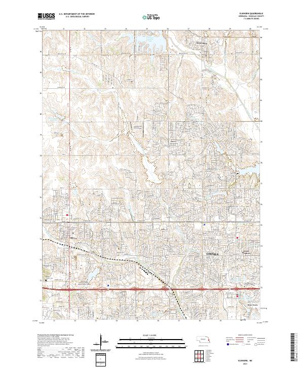
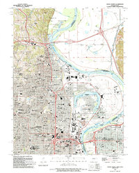
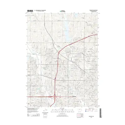
2021 Map of Elkhorn
USGS Topo · Published 2021About this map
Bennington and Elkhorn sit at the center of this suburban landscape west of Omaha, where the natural drainage of W Papillion Cr and Big Papillion Cr has been modified by modern reservoirs and residential development. The map details the transition from rural agricultural land to organized communities, featuring several established educational and religious landmarks such as the Metropolitan Community College Elkhorn Valley Campus and Boys Town.
Find a feature on this map
123 named features on this map. Tap any name to fly to it.
Don’t see what you’re looking for? This feature index may not catch every label — zoom into the map to look around manually.
Map Details
Editions of this 2021 Elkhorn Map
This is the sole edition of this map. No revisions or reprints were ever made.
Historical Maps of Omaha Through Time
16 maps found
1956 Irvington
Douglas County, NE
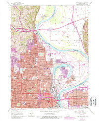
1956 Omaha North
Douglas County, NE
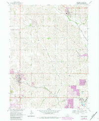
1968 Elkhorn
Douglas County, NE
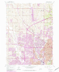
1994 Omaha North
Douglas County, NE
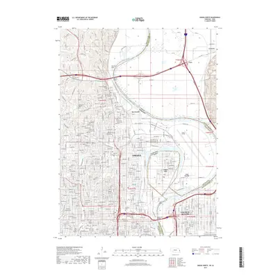
2011 Elkhorn
Douglas County, NE
2011 Irvington
Douglas County, NE
2011 Omaha North
Douglas County, NE
2014 Irvington
Douglas County, NE
2014 Omaha North
Douglas County, NE
2015 Elkhorn
Douglas County, NE
2017 Elkhorn
Douglas County, NE
2017 Irvington
Douglas County, NE
2017 Omaha North
Douglas County, NE
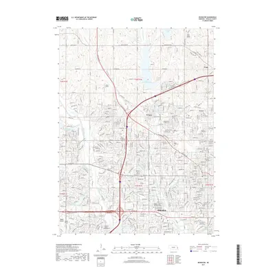
2021 Elkhorn
Douglas County, NE
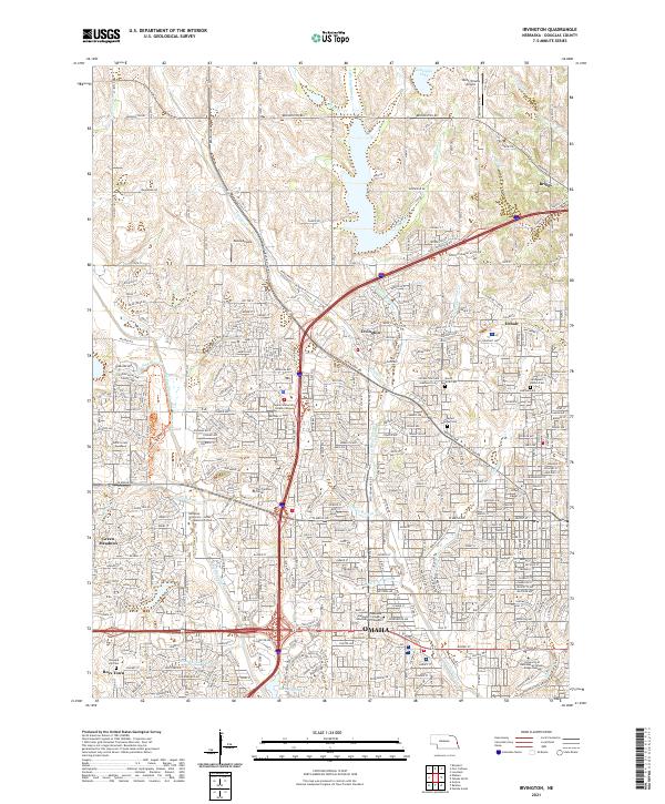
2021 Irvington
Douglas County, NE
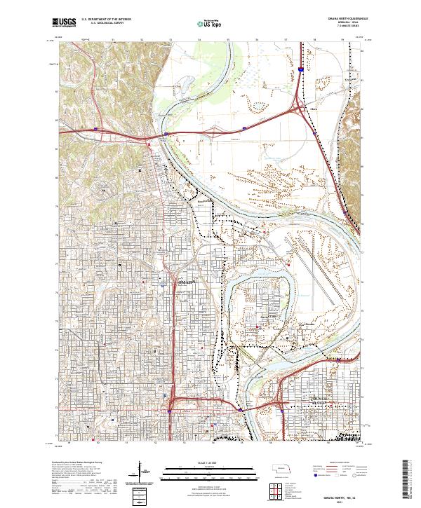
2021 Omaha North
Douglas County, NE