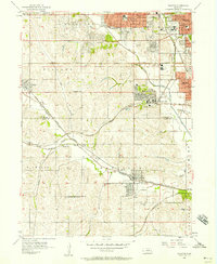
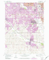
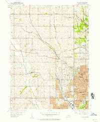
1956 Map of Ralston
USGS Topo · Published 1957About this map
Boys Town and the western expansion of Omaha define this mid-century landscape where the rural Missouri River valley began its suburban transformation. The terrain is deeply carved by the Big Papillion Creek and its tributaries, including Hell Creek and West Papillion Creek, which dictated the routes of major railroads like the Union Pacific and the Chicago Burlington and Missouri Pacific.
Find a feature on this map
49 named features on this map. Tap any name to fly to it.
Don’t see what you’re looking for? This feature index may not catch every label — zoom into the map to look around manually.
Map Details
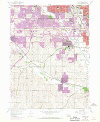
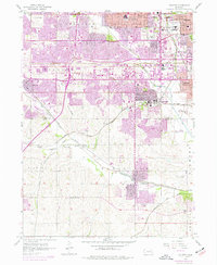
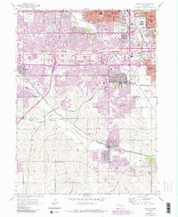
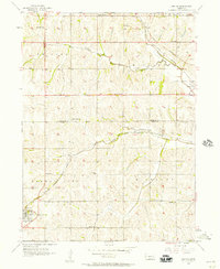
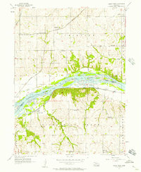
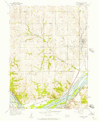
Editions of this 1956 Ralston Map
5 editions found
Other maps of this area

1893 · Omaha
USGS Topo · 1:62,500

1893 · Fremont
USGS Topo · 1:125,000

1896 · Fremont
USGS Topo · 1:125,000

1954 · Omaha
USGS Topo · 1:250,000

1955 · Fremont
USGS Topo · 1:250,000
1956 · Gretna
USGS Topo · 1:24,000
1956 · Cedar Creek
USGS Topo · 1:24,000
1956 · Springfield
USGS Topo · 1:24,000
1956 · Irvington
USGS Topo · 1:24,000
1956 · Plattsmouth
USGS Topo · 1:24,000