
1956 Map of Cedar Creek
USGS Topo · Published 1957About this map
The Platte River forms a wide, braided focal point across this mid-century landscape, serving as the natural boundary between Sarpy and Cass counties. To the north, the terrain of Springfield and Fairview is defined by an established network of country schools, such as Bell Sch and Chase Sch, which supported the rural farmstead economy of the 1950s. The region's transportation infrastructure is marked by two major rail lines: the Chicago Rock Island and Pacific passing through Richfield and the Chicago Burlington and Quincy following the river's southern bank near Cullom. South of the river, in the Eight Mile Grove precinct, the map reveals a community-focused geography anchored by the Lutheran Ch, Heil Sch, and Glendale Cem, providing specific locations for genealogical research and local history studies.
Find a feature on this map
28 named features on this map. Tap any name to fly to it.
Don’t see what you’re looking for? This feature index may not catch every label — zoom into the map to look around manually.
Map Details
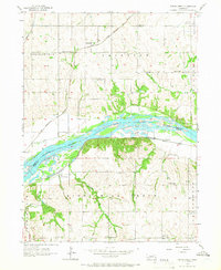
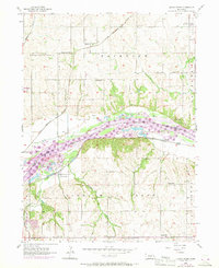
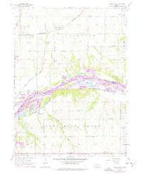
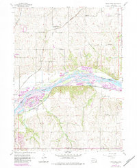
Editions of this 1956 Cedar Creek Map
5 editions found
Other maps of this area

1893 · Fremont
USGS Topo · 1:125,000

1896 · Fremont
USGS Topo · 1:125,000

1903 · Weeping Water
USGS Topo · 1:125,000

1929 · Weeping Water
USGS Topo · 1:125,000

1935 · Nehawka
USGS Topo · 1:48,000

1940 · Nehawka
USGS Topo · 1:62,500

1954 · Omaha
USGS Topo · 1:250,000

1955 · Fremont
USGS Topo · 1:250,000

1955 · Nebraska City
USGS Topo · 1:250,000

1955 · Lincoln
USGS Topo · 1:250,000