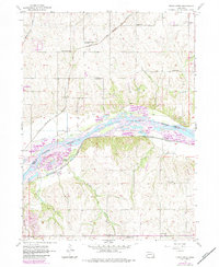
1956 Map of Cedar Creek
USGS Topo · Published 1983About this map
The Platte River corridor serves as the central artery for this mid-century portrait of eastern Nebraska, dividing Sarpy and Cass counties. The landscape is defined by its agrarian roots and educational infrastructure, dotted with one-room country schoolhouses including Bell Sch, Sarpy Center Sch, Chase Sch, and Cullom Sch. Transportation networks of the Chicago Rock Island and Pacific and the Burlington Northern railroads anchor the small settlements of Richfield and Cedar Creek.
Find a feature on this map
24 named features on this map. Tap any name to fly to it.
Don’t see what you’re looking for? This feature index may not catch every label — zoom into the map to look around manually.
Map Details
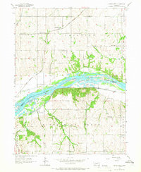
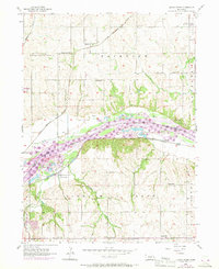
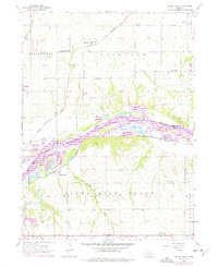
Editions of this 1956 Cedar Creek Map
5 editions found

Other maps of this area

1893 · Fremont
USGS Topo · 1:125,000

1896 · Fremont
USGS Topo · 1:125,000

1903 · Weeping Water
USGS Topo · 1:125,000

1929 · Weeping Water
USGS Topo · 1:125,000

1935 · Nehawka
USGS Topo · 1:48,000

1940 · Nehawka
USGS Topo · 1:62,500

1954 · Omaha
USGS Topo · 1:250,000

1955 · Fremont
USGS Topo · 1:250,000

1955 · Nebraska City
USGS Topo · 1:250,000

1955 · Lincoln
USGS Topo · 1:250,000