
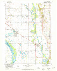
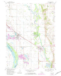
1968 Map of Valley
USGS Topo · Published 1970About this map
The Elkhorn River meanders through a landscape defined by its riparian geometry and the steady growth of mid-century Douglas County settlements. This survey reveals a complex water network where the river's path is shadowed by the Rawhide Creek (Old Channel) and the Big Slough. The Union Pacific railroad acts as a structural spine for the region, connecting the grid of Valley to the community of Waterloo.
Find a feature on this map
34 named features on this map. Tap any name to fly to it.
Don’t see what you’re looking for? This feature index may not catch every label — zoom into the map to look around manually.
Map Details
Editions of this 1968 Valley Map
3 editions found
Other maps of this area

1893 · Fremont
USGS Topo · 1:125,000

1896 · Fremont
USGS Topo · 1:125,000

1955 · Fremont
USGS Topo · 1:250,000

1956 · Gretna
USGS Topo · 1:24,000

1957 · Fremont
USGS Topo · 1:250,000

1958 · Fremont
USGS Topo · 1:250,000

1968 · Leshara
USGS Topo · 1:24,000

1968 · Fremont East
USGS Topo · 1:24,000

1968 · Kennard
USGS Topo · 1:24,000
1968 · Wann
USGS Topo · 1:24,000