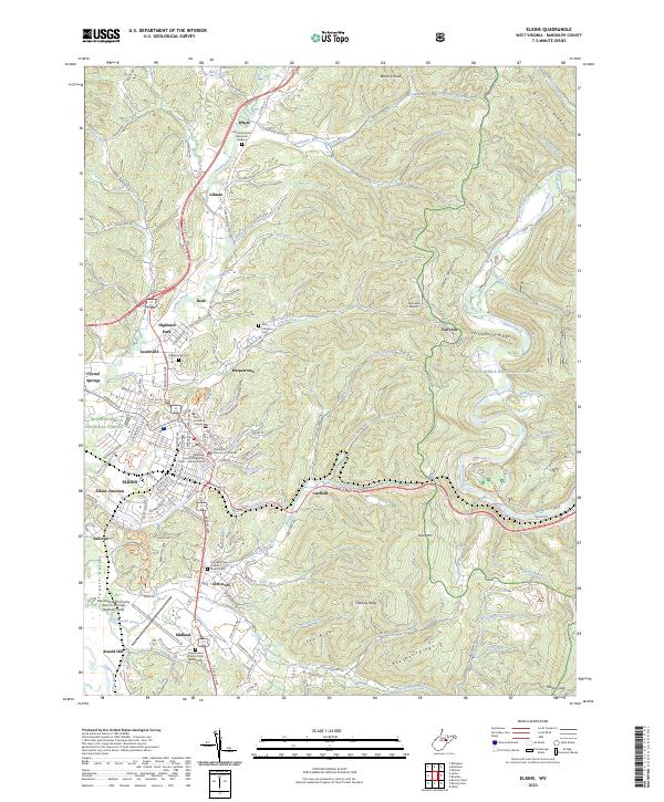
2023 Map of Elkins
USGS Topo · Published 2023About this map
The city of Elkins sits at the heart of this topographic study, serving as a hub where the Tygart Valley River meets a network of valley roads and rail lines. Modern infrastructure is deeply established here, from the campus of Davis and Elkins College to the Randolph County Courthouse and the expansive Elkins/Randolph County Airport. The surrounding valley floor is dotted with long-standing communities like Leadsville, Gilman, and Glenmore, while the eastern horizon is dominated by the steep ascent of Cheat Mountain and Turkeybone Ridge.
Find a feature on this map
144 named features on this map. Tap any name to fly to it.
Don’t see what you’re looking for? This feature index may not catch every label — zoom into the map to look around manually.
Map Details
Editions of this 2023 Elkins Map
This is the sole edition of this map. No revisions or reprints were ever made.
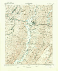
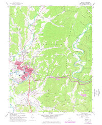
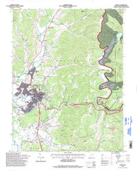
Historical Maps of Midland Through Time
5 maps found