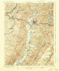
1909 Map of Elkins
USGS Topo · Published 1942About this map
Elkins serves as the central hub of this 1907 survey, where the Western Maryland RR and Coal and Iron Ry converge to manage the region's timber and mineral wealth. The landscape is defined by the steep parallel ridges of Laurel Ridge and Rich Mountain, with the Tygart River winding through the valley floor. Settlement is dense with small schoolhouses and country churches that anchored early twentieth-century rural life, such as Hazelwood School and Oriana Church.
Find a feature on this map
117 named features on this map. Tap any name to fly to it.
Don’t see what you’re looking for? This feature index may not catch every label — zoom into the map to look around manually.
Map Details
Editions of this 1909 Elkins Map
4 editions found

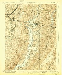
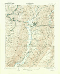
Other maps of this area

1886 · St. George
USGS Topo · 1:125,000

1889 · Beverly
USGS Topo · 1:125,000

1891 · St. George
USGS Topo · 1:125,000

1892 · Beverly
USGS Topo · 1:125,000

1893 · Buckhannon
USGS Topo · 1:125,000

1896 · Buckhannon
USGS Topo · 1:125,000

1897 · Buckhannon
USGS Topo · 1:125,000

1904 · Philippi
USGS Topo · 1:62,500

1907 · Belington
USGS Topo · 1:62,500

1908 · Parsons
USGS Topo · 1:62,500