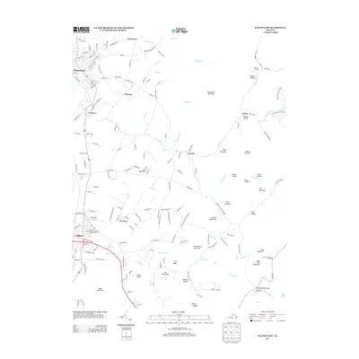
2013 Map of Elkton East
USGS Topo · Published 2013About this map
Shenandoah and Elkton anchor this 2013 survey of the Page and Rockingham county line, where the Blue Ridge Mountains descend toward the South River valley. The eastern portion of the sheet is dominated by the wilderness of Shenandoah National Park, featuring the high peaks of Grindstone Mountain, Bald Face Mountain, and Huckleberry Mountain. The map reveals a landscape defined by its water sources, from the notable Bear Lithia Spring and Elkton Spring to the cascading South River Falls and Dry Run Falls. In the foothills between the park boundary and the river, smaller settlements like Furnace, Verbena, and Fleeburg follow the drainage of Naked Creek. The terrain is marked by numerous hollows, such as Weaver Hollow and Crow Hollow, illustrating the deeply dissected geography typical of the western slope of the Blue Ridge.
Find a feature on this map
172 named features on this map. Tap any name to fly to it.
Don’t see what you’re looking for? This feature index may not catch every label — zoom into the map to look around manually.
Map Details
Editions of this 2013 Elkton East Map
This is the sole edition of this map. No revisions or reprints were ever made.
Other maps of this area

1892 · Woodstock
USGS Topo · 1:125,000

1892 · Gordonsville
USGS Topo · 1:125,000

1892 · Harrisonburg
USGS Topo · 1:125,000

1893 · Luray
USGS Topo · 1:125,000

1905 · Luray
USGS Topo · 1:125,000

1929 · Stony Man
USGS Topo · 1:48,000

1930 · Madison
USGS Topo · 1:48,000

1933 · Stony Man
USGS Topo · 1:62,500

1933 · Madison
USGS Topo · 1:62,500

1937 · Elkton
USGS Topo · 1:62,500