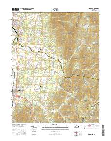
2016 Map of Elkton East
USGS Topo · Published 2016About this map
Page Valley serves as a central corridor for rural Virginia life, where the South Fork Shenandoah River flows past established towns like Elkton and Shenandoah. This mid-2010s landscape reveals the dense network of small communities and family landmarks that define the region's geography. Historically significant sites such as Koontz Cem and Naylor Cem are positioned near crossroads like Comertown, Verbena, and Jollett, suggesting deep-rooted genealogical connections throughout the valley floor.
Find a feature on this map
166 named features on this map. Tap any name to fly to it.
Don’t see what you’re looking for? This feature index may not catch every label — zoom into the map to look around manually.
Map Details
Editions of this 2016 Elkton East Map
This is the sole edition of this map. No revisions or reprints were ever made.
Other maps of this area

1892 · Woodstock
USGS Topo · 1:125,000

1892 · Gordonsville
USGS Topo · 1:125,000

1892 · Harrisonburg
USGS Topo · 1:125,000

1893 · Luray
USGS Topo · 1:125,000

1905 · Luray
USGS Topo · 1:125,000

1929 · Stony Man
USGS Topo · 1:48,000

1930 · Madison
USGS Topo · 1:48,000

1933 · Stony Man
USGS Topo · 1:62,500

1933 · Madison
USGS Topo · 1:62,500

1937 · Elkton
USGS Topo · 1:62,500