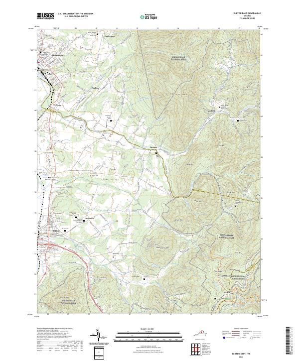
2022 Map of Elkton East
USGS Topo · Published 2022About this map
Shenandoah National Park dominates the eastern half of this terrain, where the Appalachian National Scenic Trail winds along high ridges like Hensley Ridge and Lick Ridge. The transition from the steep hollows of the Blue Ridge into the Page Valley is marked by a high density of family cemeteries and small rural congregations. These small settlements, including Jollett, Furnace, and Fleeburg, are connected by a network of local roads that follow the natural drainage of Naked Cr and Big Lick Run. Near the western edge, the South Fork Shenandoah River and the established town centers of Elkton and Shenandoah provide a contrast to the high-elevation wilderness of Grindstone Mtn and Abrams Mtn. Researchers will find significant genealogical interest in the numerous small burial grounds, such as the Huffman-Koontz Cem and the Jones-Arrington Family Cem, which remain as identifiers for local family history.
Find a feature on this map
156 named features on this map. Tap any name to fly to it.
Don’t see what you’re looking for? This feature index may not catch every label — zoom into the map to look around manually.
Map Details
Editions of this 2022 Elkton East Map
This is the sole edition of this map. No revisions or reprints were ever made.
Other maps of this area

1892 · Woodstock
USGS Topo · 1:125,000

1892 · Gordonsville
USGS Topo · 1:125,000

1892 · Harrisonburg
USGS Topo · 1:125,000

1893 · Luray
USGS Topo · 1:125,000

1905 · Luray
USGS Topo · 1:125,000

1929 · Stony Man
USGS Topo · 1:48,000

1930 · Madison
USGS Topo · 1:48,000

1933 · Stony Man
USGS Topo · 1:62,500

1933 · Madison
USGS Topo · 1:62,500

1937 · Elkton
USGS Topo · 1:62,500